Self Guided Walks
Ards Forest Park Looped Walk, Co Donegal
Distance: 1.5km – 13km Time: 1hr – 4hrs
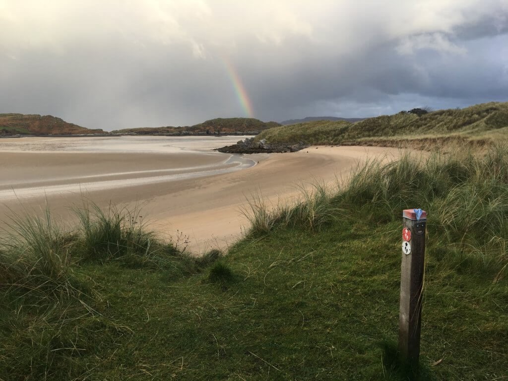
Ards Forest Park covers approximately 480 hectares (1200 acres) and includes a variety of habitats, including sand dunes, beaches, salt marshes, saltwater lakes, rock face and coniferous and deciduous woodlands. It is one of the most diverse forest parks in Ireland.
The park is also home to a wide selection of animals and birds, a playground and multiple picnic areas. For those interested in human history, there are a number of historical and archaeological features, including the remains of four ring forts together with a holy well and a mass rock.
In total, there are nine walking trails to choose from. These include the Salt Marsh Trail (0.5kms, multi-access), the Sand Dune Trail (1km, multi-access), the Nature Trail (1.5km), the Red Trail (13km), the Green Walk (3.5km), the Yellow Walk (4km), the Marine Trail (2.5km), the Heritage trail (5.0kms) and the Binngorm Trail (3.5km)
Re-fuel: Ards Coffee Tree in the park offers teas, coffees, light snacks and delicious home-baked goodies.
The Errigal Mountain and Mackoght Mountain Hiking Trail
Distance: 6km
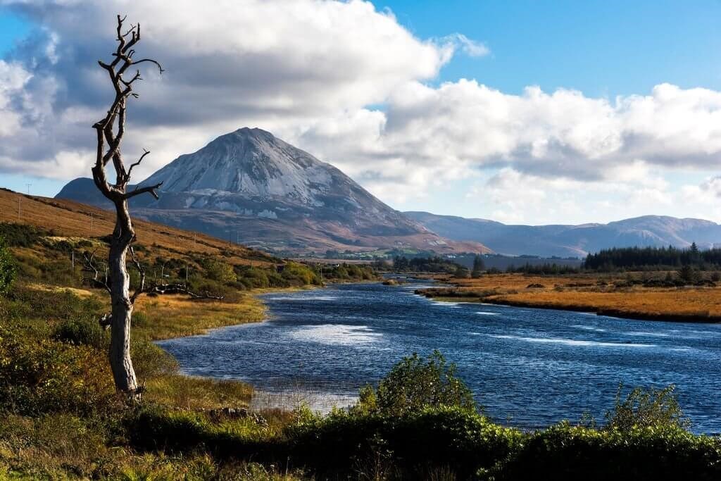
Image: Tourism Ireland/Chris Hill
For a little challenge why not climb the 751m Errigal Mountain? The Errigal Mountain and Mackoght Mountain Hiking Trail is a moderate to strenuous 6km loop walk that will take you three and a half hours. It is Donegal’s highest and most iconic mountain situated east of Gweedore village. There are twin peaks to this summit and the ridgeline twixt them is a stunning and at times adrenaline fuelled crossing! The round trip from the car park is only 6km so take a morning and go explore!
The Horn Head Walk - The Old Signal Tower
A simple but stunning walk is from the lookout post car park at Horn Head, At the east end of the small car park, a few trodden paths can be found. Just off to your right in about 60m, you can have wonderful views -weather permitting -south east and beyond to the cliffs below the viewpoint on the main road. Turn about and follow the small trail in the direction of the Signal Tower. The Tower was built during the Napoleonic Wars to warn of possible French invasion-if you are French and reading this,you are most welcome now !
The track[s] are usually quite wet under foot as they are on peat or grass etc. until you get nearer the cliff edge so you need sensible foot wear. Please be aware it is nearly always windy up here and even when not, it is very important to keep children under close supervision at all times. In about ten minutes, you can pick up a track that takes you to the right along the cliff edge with the Tower visible ahead. Do not go too close to the edge as it is a very long way down i.e. about 250m. The Tower can be reached in about 30 mins and there are many opportunities to take in the wonderful panoramic scenery of this head land. Depending on the time of year and weather conditions, you may see some interesting plants and birds but if not the views from this tower are a rich reward for little effort. Please do not undertake this walk in bad weather unless you are an experienced hiker.
Sli Arainn Mhor
Distance: 14km
OS Map: Signposted
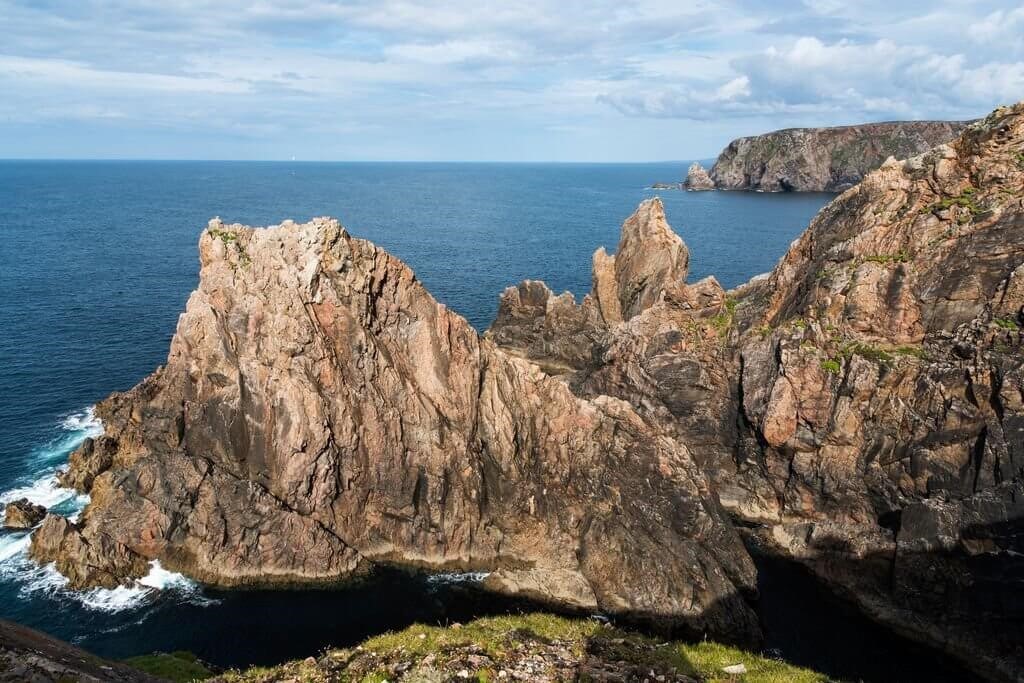
Image: Tourism Ireland/Chris Hill
Sli Arainn Mhor is a looped walk around the island of Arranmore (part of Bealach na Gaeltachta which is a national waymarked way). The walk begins and ends at the Ferry Port. We particularly love the wild and remote western side of the island. You will be inundated with the beautiful coastal scenery. The 14 kms will take approximately four to five hours to complete.
The Pilgrims Path, Sliabh League Cliffs
Distance: 2-12km
OS Map: 10
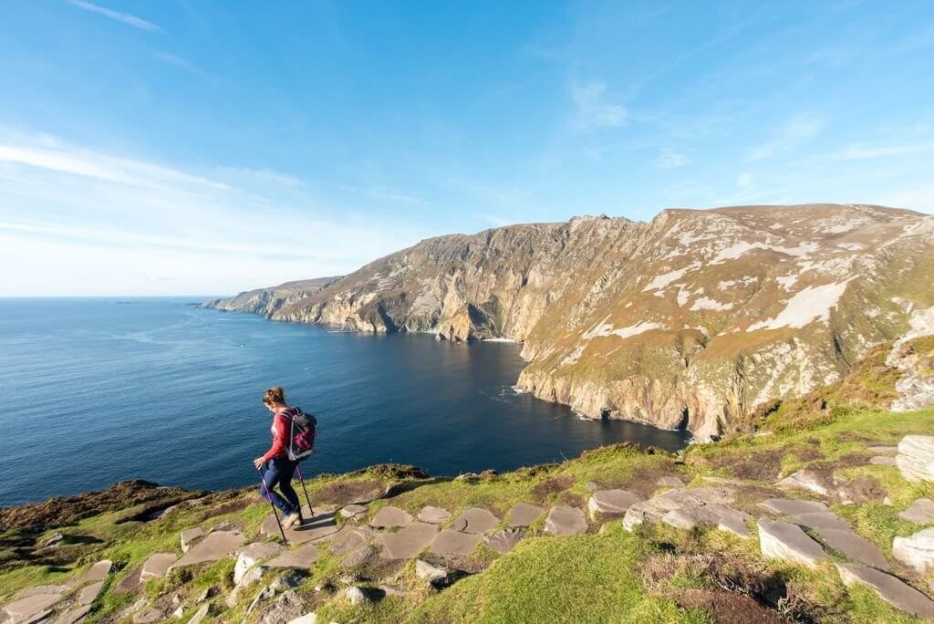
Image: Tourism Ireland/Alex Keys
While the masses gather at the Cliffs of Moher, let us let you in on a little secret, the sea cliffs of Slieve League are actually three times the height. Make your way up the narrow One Man’s Path and peer over the edge. There is no better place in the world than standing on the edge of a cliff, with seabirds flying overhead and nothing but roaring swell beneath you. Make sure to look out for two rocks nicknamed the ‘giant’s desk and chair.’ There are plenty of routes to choose from 2km to 12km options and carparks to leave your car. Our favourite route is the Pilgrims Path.
Muckish Mountain
OS Map: 2
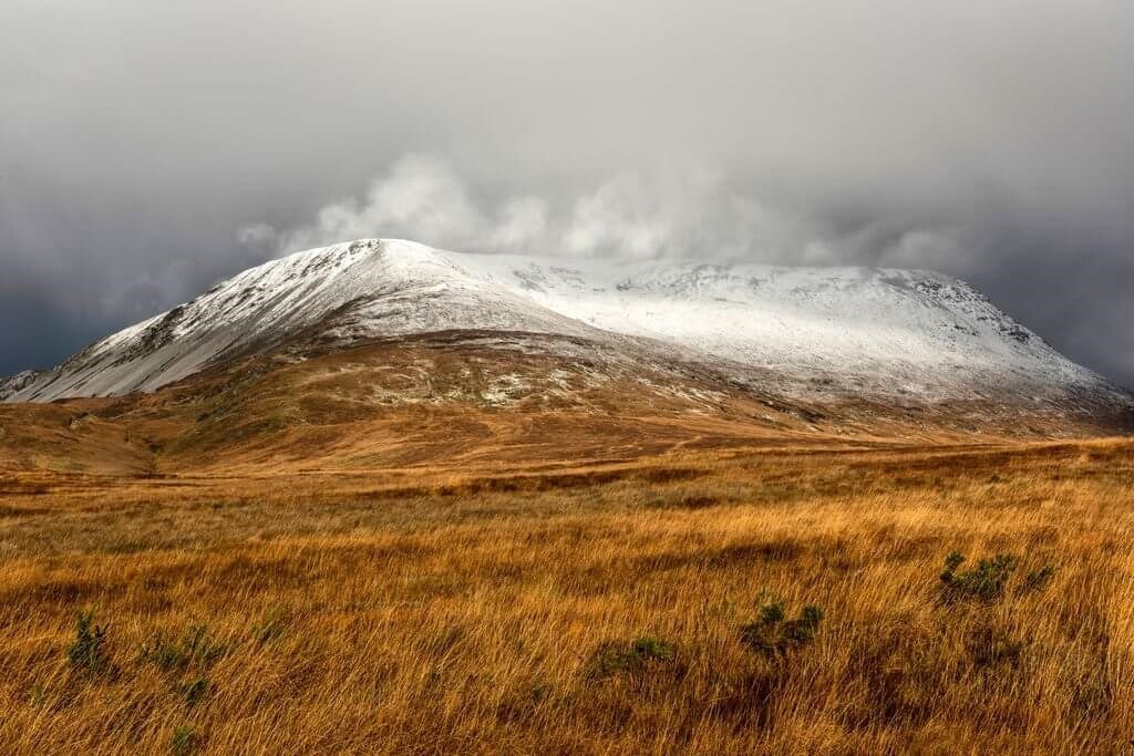
Image: Tourism Ireland/Chris Hill
Muckish Mountain is a stunning table top mountain to rival Benbulben in Co Sligo. It’s steep sides and wide pleateaued summit give it its name An Mhucais, the pig’s back. There is a choice of routes to the summit, one on the Falcarragh at Gleannaneor, and the other main route is called the Miners Path. If you’re after remoteness and some tranquillity then this is the ideal climb. When you get to the top, enjoy the views of Derryveagh, Creeslough, North Derry and Antrim.
The Old Railway Walk - Siúlóid an tSean Bhóthar Iarainn
Scenery along the route is superb with views overlooking Loch Waskal and taking in various costal islands along the way. There are many features of the old railway remaining which you can view along the way including: stations, gatehouses, accommodation crossings - the pillars, cuttings, embankments, a bridge, rusty gates and much, much more. The trail is generally flat and is suitable for prams, buggies and leisure bikes, there are also many places to sit, rest and picnic along the way. Please note however that there is a very steep section towards the Meenbannad section (for about 50m) where the trail leaves the railway corridor and leads the walker up a steep bank on to the tarred road.
In Burtonport itself there is a lovely harbour area from where one can access a ferry to Árainn Mhór, link up with boats specialising in diving, fishing and scenic Island tours etc. The Burtonport Welcome Centre offers you a free cup of tea or coffee as well as a delightful array of locally sourced craft and a heritage collection of fishing and country life memorabalia
Websites for Guides/Festivals
Contact
Address
The River House,
Gweedore Road,
Dungloe,
Co. Donegal,
Ireland
Phone
+353 74 9561997
